Service hotline
+86 0755-83975897
 en
en Release date:2021-12-29Author source:KinghelmViews:2174
What is Beidou?Development planning is?
Beidou is the abbreviation of China's Beidou satellite navigation system. It is a global satellite navigation system independently built and operated by China. It is an important weapon of China and a national space infrastructure.
Yang Changfeng, chief designer of Beidou satellite navigation system project, told reporters that the system canProvide all-weather, all-time and high-precision positioning, navigation and timing services for users all over the world。
Since the 1980s, China has begun to explore the development path of satellite navigation system suitable for national conditions, forming a "three-step" development strategy:
At the end of 2000, the Beidou-1 system was completed to provide services to China;
At the end of 2012, beidou-2 system was built to provide services to the Asia Pacific region;
In 2020, beidou-3 system will be built to provide services to the world.
What's the difference between today's launch of the closing star?
The space segment of beidou-3 global system consists of three satellites in different orbits: MEO satellite (earth mid circular orbit satellite), IGSO satellite (inclined geosynchronous orbit satellite) and GEO Satellite (geostationary orbit satellite).
Including 24 MEO satellites, 3 IGSO satellites and 3 geo satellites, a total of 30.
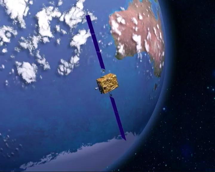
The closing star launched today is a GEO satellite. The so-called GEO Satellite means that the satellite maintains the same speed as the earth's rotation and is relatively stationary with the earth.
The service life of the satellite in orbit is 12 years.
This is the third GEO satellite of beidou-3 global satellite navigation system. Although the number of geo satellites is small, they play a key role. As a "big man" stationed in high orbit Tianjiang, they shoulder the responsibility of significantly enhancing the overall technical indicators of beidou-3,It also carries many sharp tools to open up territory for China's Beidou on orbit operation and application.
Although the satellite itself has 18 martial arts, they have given themselves a more important mission - to provide enhanced services for the improvement of the technical indicators of the Beidou navigation system.
In fact, at the end of 2018, with the completion of the construction of beidou-3 basic system, China has begun to provide global satellite navigation services.
Now, with the addition of the last beidou-3 networking satellite, China is expected to provide more accurate enhanced services.
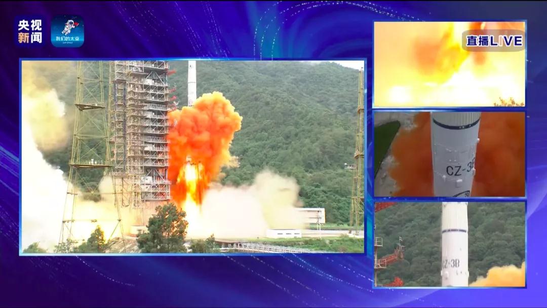
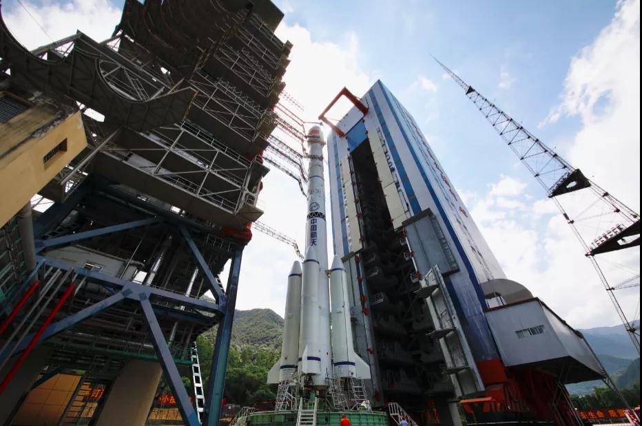
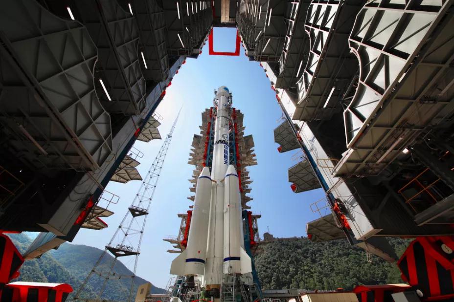
With the launch of the closing star,Once successfully put into orbit, the "three brothers" of the beidou-3 GEO satellite will reunite in space and distance themselves from the equator, raising China's global satellite navigation service to a new height.
What is the significance of this launch?
The 55th satellite of Beidou satellite navigation system is the closing star of Beidou global system,Once successfully launched and stably operated in orbit, it will mark the completion of the deployment of the Beidou global satellite navigation system Constellation and the Beidou system's going out of China and into the world, which is of great significance.
The completion of the Beidou global system on schedule in 2020 is a major country's commitment,It is one of the symbols of becoming a space power.
Where's Beidou? Why haven't I used it yet?
As a "national treasure" destined to go to ordinary people's homes from birth, the issues of when, who can and how to use the "Beidou" have attracted much attention. Yang Changfeng told reporters that according to Beidou application, it is divided into "industrial and regional application" and "public application".

In terms of industrial and regional applications, Beidou hasIt is widely used in the fields of transportation, agriculture, forestry and fishery, hydrological monitoring, meteorological forecasting, communication time series, power dispatching, disaster relief and reduction, public security and so on, integration into the national core infrastructure has produced remarkable economic and social benefits.
Taking transportation as an example, by the end of 2019, more than 6.5 million domestic operating vehicles, 30000 postal and express vehicles, about 80000 buses in 36 central cities, more than 3200 inland navigation facilities and more than 2900 marine navigation facilities have applied Beidou system to build the world's largest dynamic supervision system for operating vehicles.
In terms of mass applications, Beidou based navigation services have been adopted by e-commerce, mobile intelligent terminal manufacturing, location-based services and other manufacturers, widely entered the fields of mass consumption, sharing economy and people's livelihood in China, and profoundly changed people's production and life style.
Yang Changfeng takes smart phone applications as an example. Mainstream chip manufacturers at home and abroad have launched Beidou compatible conduction integrated chips. According to statistics, more than 70% of the mobile phones applying for network access support Beidou Positioning Technology.
Beidou and GPS compete or cooperate?
Looking around the world, the world's four major navigation "sects", including [敏感词]n GPS, European Galileo Galileo, Russian GLONASS and China's "Beidou", are competing. But for ordinary users, apart from other factors, products within reach often choose what can be used and easy to use.
Previously, a document between China and the United States called the joint statement on Beidou and GPS signal compatibility and interoperability established a China [敏感词] satellite navigation cooperation working group, signed a joint statement on system compatibility and interoperability, and deepened signal interoperability coordination, which attracted a lot of attention.
Yang Changfeng said that since this statement, GPS and Beidou systems have been fully compatible under the framework of ITU. That means,Ordinary users can use "Beidou" and GPS satellite navigation systems at the same time without increasing costs or basically.
In fact, as early as 2006, the United Nations established the International Committee on global satellite navigation systems to coordinate the compatibility and interoperability of satellite navigation systems. Based on this platform, China's "Beidou" has established a cooperation mechanism with Russia and Europe in addition to the United States.
What are Beidou's follow-up plans?
After the completion of beidou-3 system, it will form system facilities for navigation, positioning and timing to meet the needs of China's national production and construction. With the development of application, Beidou system will face more, newer and higher requirements. In the future, Beidou system will focus on the following aspects for further improvement.
In 2035, China will also build an integrated positioning, navigation and time service system with Beidou system as the core. At that time, China Beidou will shine around the world with another upgrade.
Yang Changfeng said that one belt, one road to another, and the other two are the most powerful and reliable satellites. Navigation has been developed from scratch to good and weak.China's Beidou has become the world's Beidou and first-class Beidou, serving global users.
This article is reproduced from“Popular science China”, support the protection of intellectual property rights. Please indicate the original source and author for reprint. If there is infringement, please contact us to delete





Copyright © Shenzhen Kinghelm Electronics Co., Ltd. all rights reservedYue ICP Bei No. 17113853
